| OS Route Map → |  |
GPX Route file → |
Date: 07 Jul 2026
Start: Dolgoch / Finish: Machynlleth.
Maps: Explorer 023 : Cadair Idris / Llyn Tegid.
| Day 1 | Pen Trum-gwr | 2.9miles / 1690 feet (4.6km / 515m) |
| Day 2 | Tarren Cwm-ffernol, Tarrenhendre & Mynydd Rhyd-galed | 5.8miles / 1285 feet (9.4km / 312m) |
| Day 3 | Tarren quarries & Pantperthog | 6.7miles / 402 feet (10.9km / 122m) |
A backpack along the line of the south western Tarren Hills, based on an approach via a new 500m summit.
The outward line ascends via the Dolgoch Falls to the valley track of the Nant Dolgoch, an easy approach to a steep direct ascent of Pen Trum-gwr and a traverse of the Tarren summits to Foel y Geifr.
The return descends via the old quarries below the fine eastern cwm of Tarren y Gesail to reach forest tracks and lanes to the Afon Dyfi on the outskirts of Machynlleth, where a walkway/cycle route continues into the town.
The Dyfi forest to the south-east of Tarren y Gesail is home to the Dyfi Bike Park and its network of MTB tracks. Careful navigation is briefly needed following the public footpath through the uppermost old quarries where a maze of twisting bike paths compete for attention. We didn't see any standard footpath waymarks, but a couple of prominent notices on the path line warn you to be aware of bikes, these are the only indication that you are on a right-of-way. The path is a good one though.
This trip was timed to finish before the first day of blistering hot weather as forecast, these three days turned out merely… hot. We had cancelled a trip just a couple of weeks before due to a forecast of excessive heat combined with very high humidity, a seriously risky combination when backpacking at our age. On return, the hot spell was predicted to continue beyond next week, interesting times.
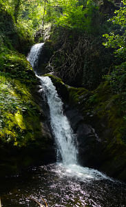
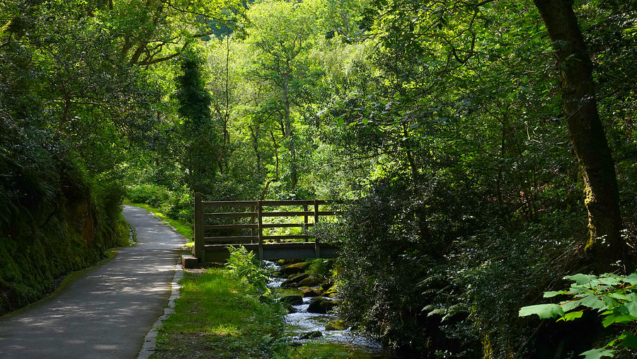
The G24 bus dropped us by the Dolgoch Falls car park and we joined the well maintained track as far as the lower fall. There is an inviting onward path up through the woodland ravine, the one we had intended to descend on our Western Tarrens trip in 2023 when we had a bloody mishap that curtailed the trip. This time we followed the same route as that trip to reach the Nant Dolgoch track as shown on the map leading to the Nant Sychnant and the sheepfolds at the valley head.
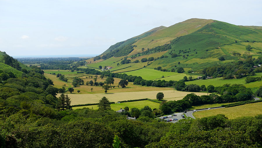
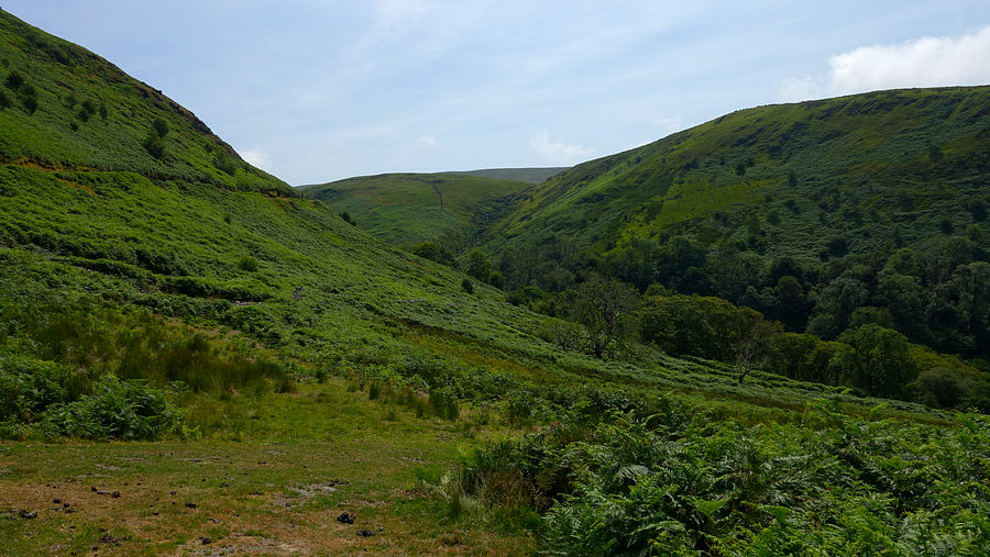
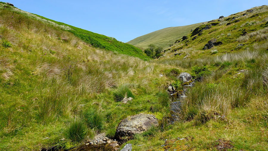
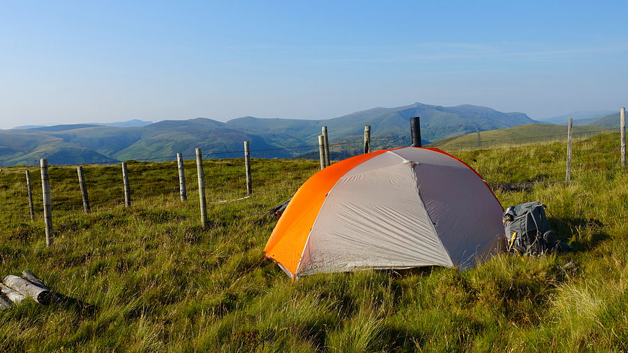
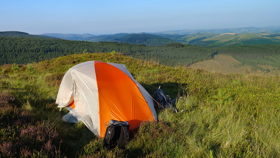
The looming pathless ascent of Pen Trum-gwr looked formidable, but the short whinberry terrain is easy enough and we eventually reached the unremarkable summit at a fence junction where we made a good pitch.
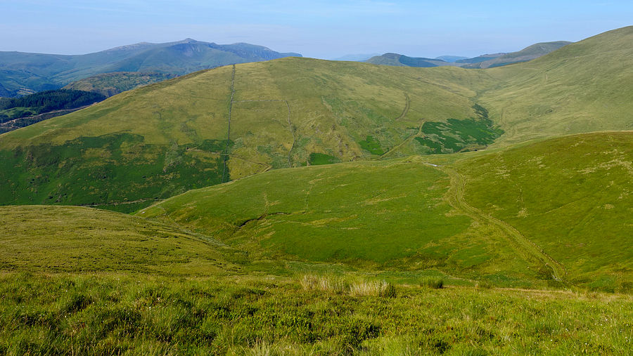
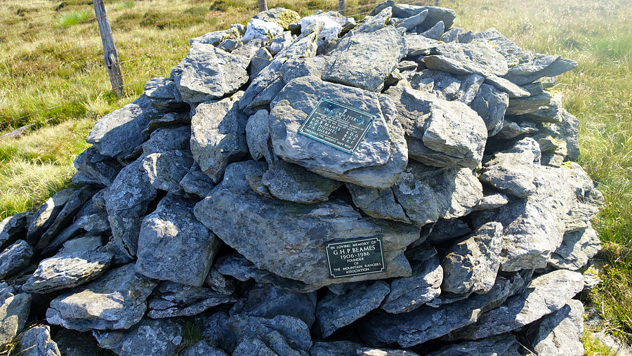
A straightforward descent and climb alongside the fence gains Tarren Cwm-ffernol and its memorial cairn. The upper memorial plaque is dedicated to three Mountain Rangers killed in WWII and the lower one to a founder member of their club.
Crossing to the south side of the ridge fence, the terrain was initially rather rougher than we remember but soon improved as we joined a good path. It was nearly windless and getting hot already, we took advantage of a light breeze on Tarrenhendre for a protracted eat stop before continuimg to Mynydd Rhyd-galed.
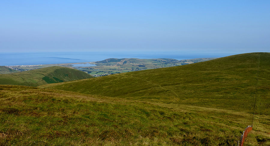
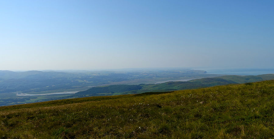

Scanning the ridge ahead and checking the map, it shows a pecked line path starting at SH 70616 04706 bypassing the traverse of Foel y Geifr and making a beeline for the far col. Approaching that point we were encouraged by an "Explore Dyfi" logo but the path continued on the south side of the fence towards the hill. Carefully verifying the position by GPS, the terrain on the north side was horrendous and, hidden in the knee-deep vegetation, we found the broken remains of a stile. Maybe there was a decent line through at one time but no more. We knuckled down in the heat for the traverse, though not much ascent and we found a half-collapsed conifer where we rested in the shade a while.
We emerged from the forest onto the uppermost track of the Dyfi Bike Park and diverted to collect water. Time was getting on and we really needed a pitch: no promising candidates nearby, we settled on a pretty rough but flattish area barely big enough for the tent that turned out far more comfortable than expected.
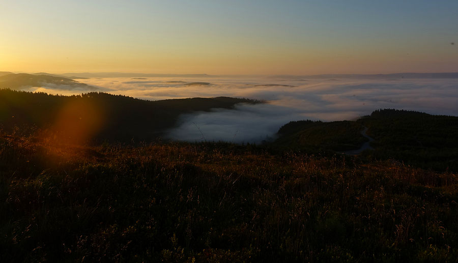
That evening we watched a dense finger of inverted mist advancing up the Dyfi estuary and gradually spilling over the forest below.
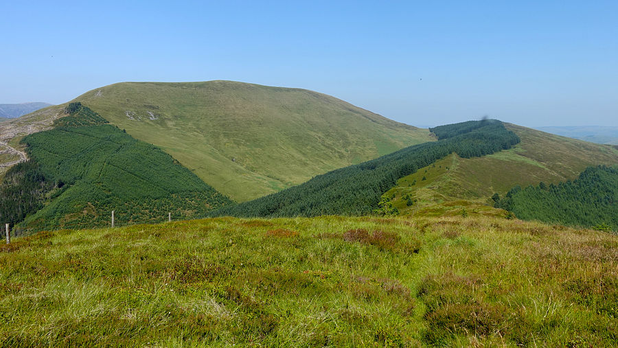
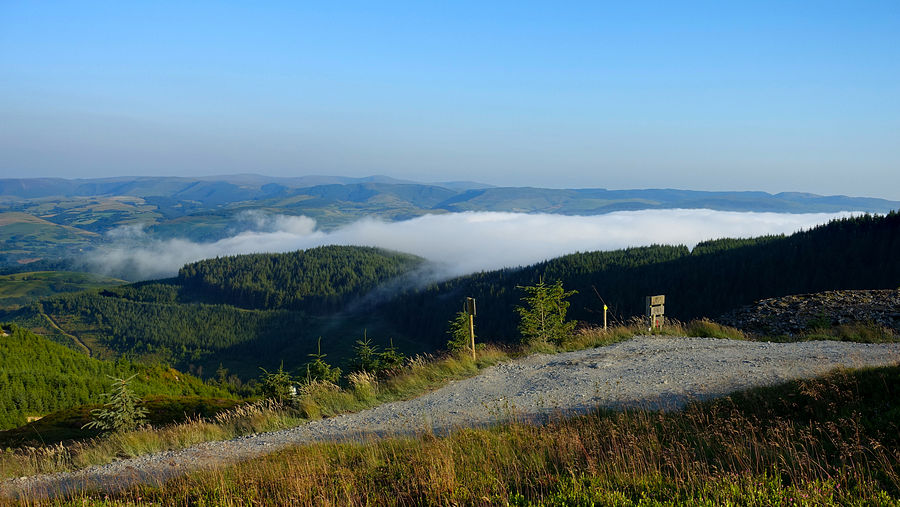
At dawn the valley mist had fully advanced up the estuary and beyond to form a good widespread inversion, a lovely sight. Capturing the scene was quite a performance though, there was no breeze at all and the midges were out in force despite liberal use of Mosiguard, flying in dense clouds around our heads and landing on the camera lens.
Among the various dirt tracks hereabouts, we initially set off on the wrong one but very quickly spotted the error and picked up the public footpath slanting down across the face of the east cwm, far more imposing than we remember it.
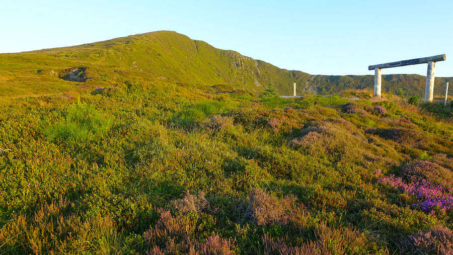
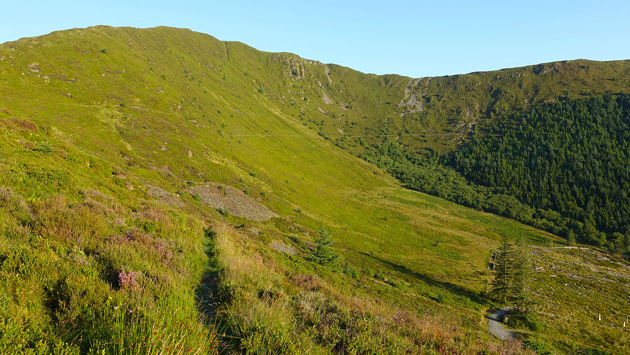
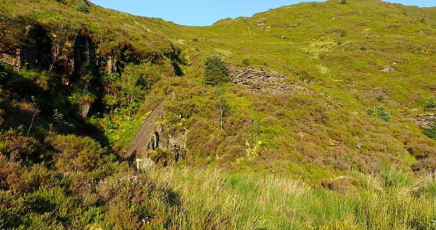
The path crosses the infant Nant y Darren and joins a forest track, a speedy descent south-eastwards that soon entered the inverted mist keeping things pleasantly cool. The low mist had highlighted a profusion of spider webs in the vegetation, a grand sight.
Another potential route pitfall lay ahead where the track bends north-eastwards to the buildings at Pant-perthog: at SH 74638 05103, the path - now a bridleway - turns south to link with another track lower down, but we saw no sign of any path nor any evidence that there ever was one, the way was impassable. We continued on the current track, taking the long way round as shown on our map. At least it was easy and speedy walking and we soon reached the A487. A country lane opposite provides a quiet continuation southwards to reach the Afon Dulas and rejoin the main road.
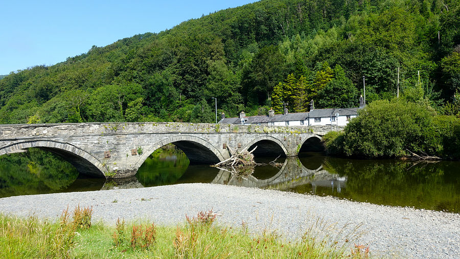
We crossed the Millenium Bridge and walked along the Afon Dyfi to the old bridge - Pont ar Ddyfi. The major construction project underway on our last visit is now complete and the pedestrian route to Machynlleth basically follows the line of the old road with a walkway/cycle route.