
| OS Route Map → | GPX Route file → |
Date: 14 May 2018
Start / Finish: Alston. Free car park.
Maps: Explorer OL31 North Pennines.
| Day 1 | Maiden Way, Melmerby Fell & Green Fell | 10.2 miles / 2349 feet (16.4km / 716m) |
| Day 2 | Cross Fell & Staneshaw Rigg | 13.8 miles / 1108 feet (22.2km / 337m) |
A 2-day route around the hills and moors south of Alston culminating at Cross Fell.
The outward route closely follows a section of the Maiden Way Roman road (MW) from the flank of Park Fell, a new Dewey 500m hill, to its highest point near the summit of Melmerby Fell. It then heads into the broad and little trodden, wild and remote region of Cross Fell's north-western approaches for a pitch on Green Fell.
The second day completes the traverse of Cross Fell and heads north-east through an area of old mines to join the Pennine Way (PW) for a couple of miles. It then branches off westwards into grouse-shooting country over Staneshaw Rigg to Greencastle Tarn, descending Rotherhope Fell via a vehicle track to the River South Tyne and rejoining the PW to Alston.
Much of this route is about spacious landscape views, but also crosses stretches of wilderness of great character where atmosphere and feeling predominate over visuals. There were a few walkers on the two short PW sections, but for the rest of the trip the whole area was deserted. Cross Fell still retained small pockets of snow on its northern face.
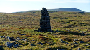
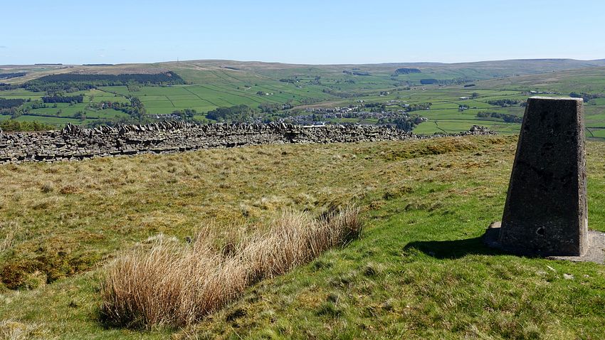
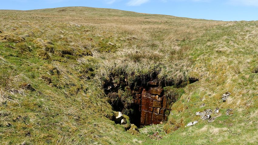
We descended the walkway footpath from the church by the police station down to the A686 and crossed the river to walk a short way up the A689 to The Wardway, a minor road that led to our walled track ascending the lower slopes of Park Fell. Passing the farm track down to Bayles, in the centre of the next field is a farm gate onto access land and a grassy track ascending the fell that passes the site of a small old quarry and arrives at a wall gap. An easy ascent weaving through some shake holes gains the 511m summit marked by a tiny stack of stones and giving a good view towards Scarberry Hill and Cross Fell, while the lower trig point a brief walk away gives a slightly better view eastwards.
We descended westwards to the fence junction to a rickety old gate to pick up the approximate line of the MW that follows the wall bounding the lower fields across Brownside Moss. There are traces of a line here in the coarse moorland grasses and reeds, a little wet occasionally but not bad at all. Passing more shake holes we entered the lower fields through the wall to the descending line to emerge at a gate onto the A686.
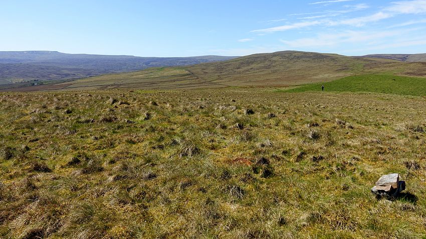
A short walk up the road passing the old quarry remains on Meathaw Hill is the signed track leading to the old road where the line of the MW is resumed, a surfaced track giving a distant view towards the steeply incised valley of Shield Water and descending to the confluence of its tributaries Rowgill Burn and Aglionby Beck that must be forded.
The MW surfaced track climbs steadily up the flank of Melmerby Fell giving easy walking until it turns sharp left towards the old Smittergill Head mine and, nowadays, grouse shooting stations. The MW continues as a peaty line, often quite squelchy and wet from the tiny streamlets coming down, but eventually drying out as it approaches its highest point curving southwards. We struck out for the summit on the best looking line and the cairn soon appeared on the skyline. The cropped grass of the summit gave grand views towards Cross Fell ahead and back to the Black Fell-Grey Nag ridge.
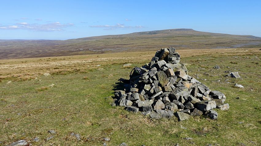
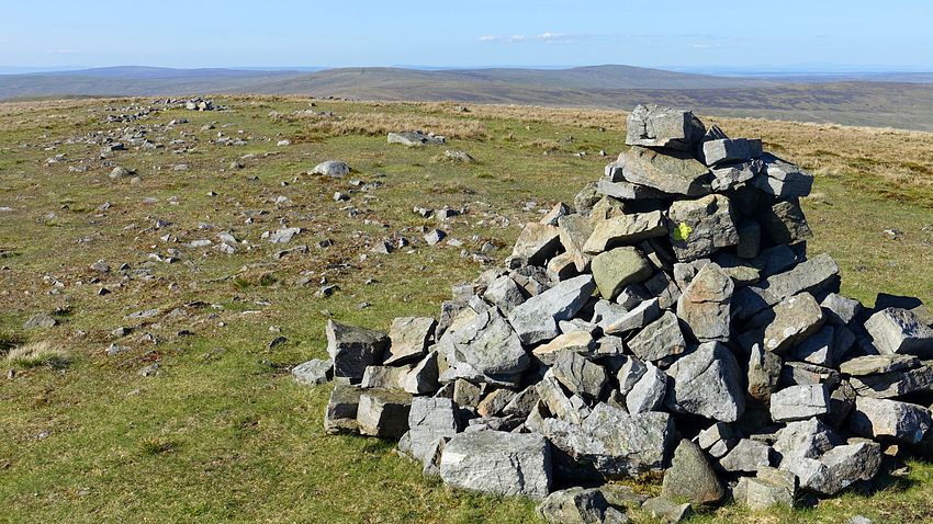
Descending south-eastwards we arrived back at the MW near Meg's Cairn where the road stands out clearly as a stony track through the exposed rock.
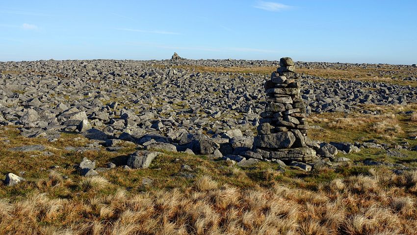
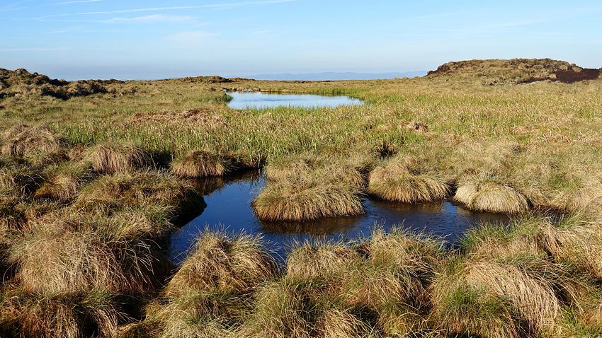
The traverse from here up the stepped, broad ridge to Cross Fell was the highlight of the route, an atmosphere of remote wilderness in a trackless landscape of coarse moorland grasses, scattered rock fields and curricks, pools and peat. The aim for today was Green Fell, and its appearance from Melmerby Fell suggested the origin of the name, it really did look green against its background.
We weaved our way through the varied terrain making use of occasional very vague lines, possibly fragments of old quadbike tracks, and ascended onto a flat area below a wide rash of rocks topped by small curricks to make an excellent pitch.
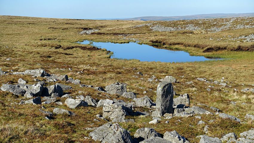
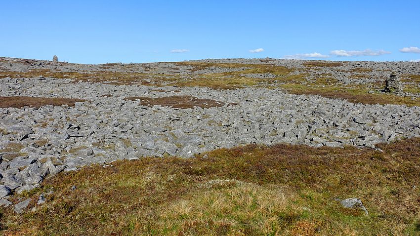
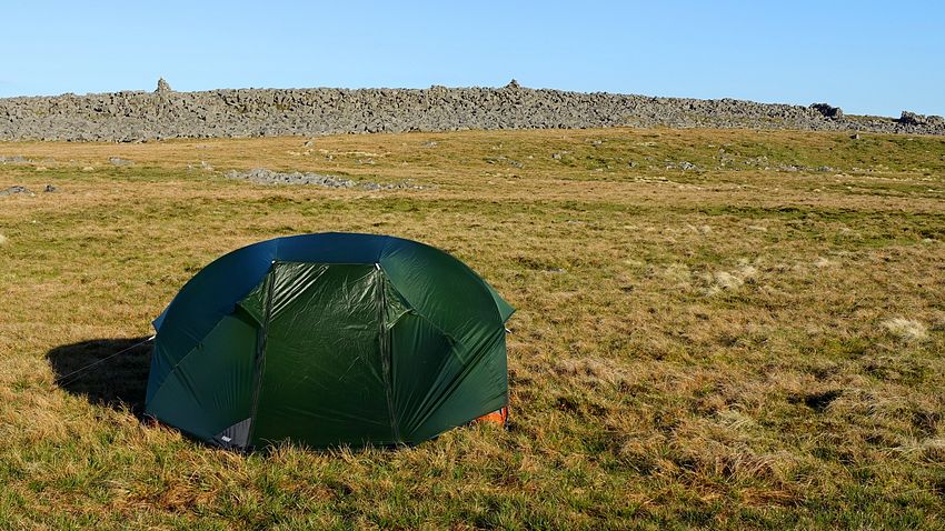
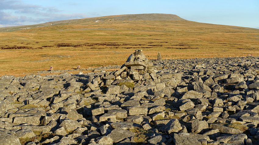
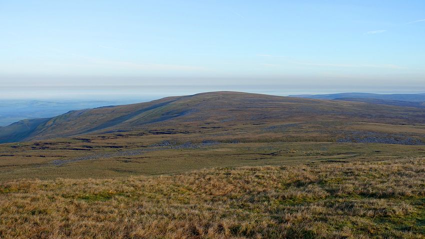
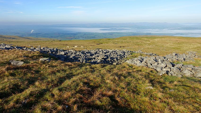
The early light of a cool, clear morning gave a good view back to Melmerby Fell and the Lake District mountains beyond the valley mist as we ascended to the right of the rockfield above us.
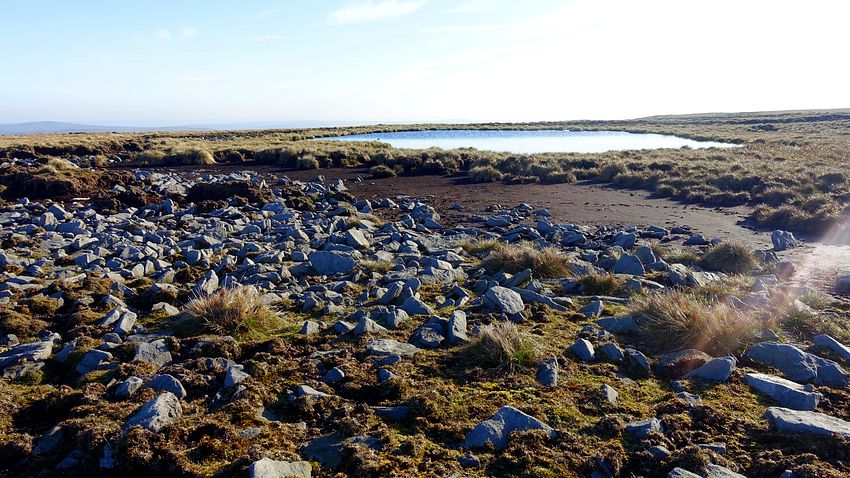
Weaving through more rockfields and curricks we spotted the pool shown on the map. It was a good line to ascend the NW ridge, threading our way through the terrain past a sheepfold towards a new fence not shown on our 2015 mapping. A gate in the fence opens onto a smooth grassy track that gives a splendid easy walk with good views leading directly to the main track near the Yad Stone on the PW.
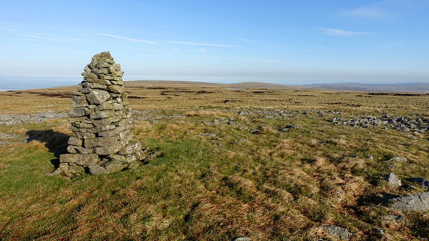
An easy climb to Cross Fell revealed a grand sunny panorama, an excellent opportunity to linger a while in solitude absorbing the views. As on previous visits it wasn't clear enough to see the North Sea and Irish Sea as reputed on extremely clear days, but there were great views to the Lake District mountains and many other Pennine hills, including Great Dun Fell with its widely visible landmark 'golf ball'.
A line of curricks directs the descent eastwards to Crowdundle Head alongside the nascent stream. A few contours before the col, we watched for the crossing bridleway that would take us north-eastwards.
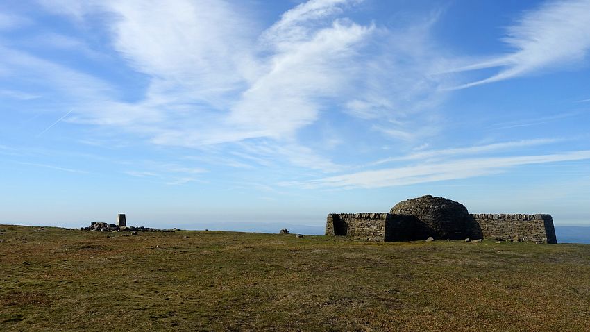
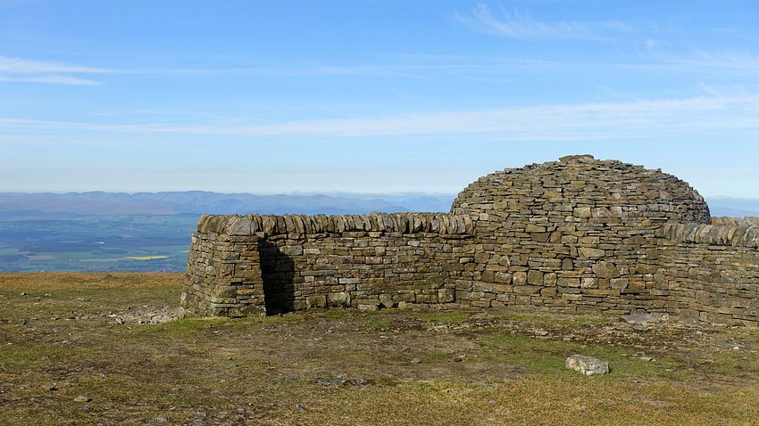
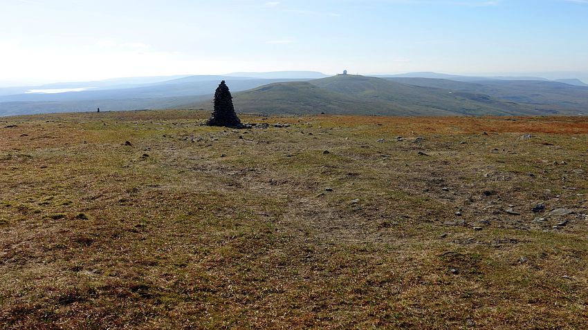
Having walked a section of this bridleway at the opposite end near Cash Well, we were expecting at least a pretty good track: it isn't. Initially there is a fairly reasonable line marked by a few small piles of stones, but as it crosses a fence and slants down the slope to cross some tiny streamlets in boggy ground, it all but disappears. We think we spotted the section of good track leading onwards from the old mine and levels ahead, but that view was lost lower down leaving a very confusing landscape. We lost patience with it and headed directly across to Rake Moss and the fence that would lead us unerringly down to Cash Well (the plotted line for this short Rake Moss section in our GPX file is a very rough guess, it's one of those rare occasions when a GPS recorder would have been nice just for interest).
We joined the PW for a couple of miles passing Long Man Hill and Pikeman Hill with good views.
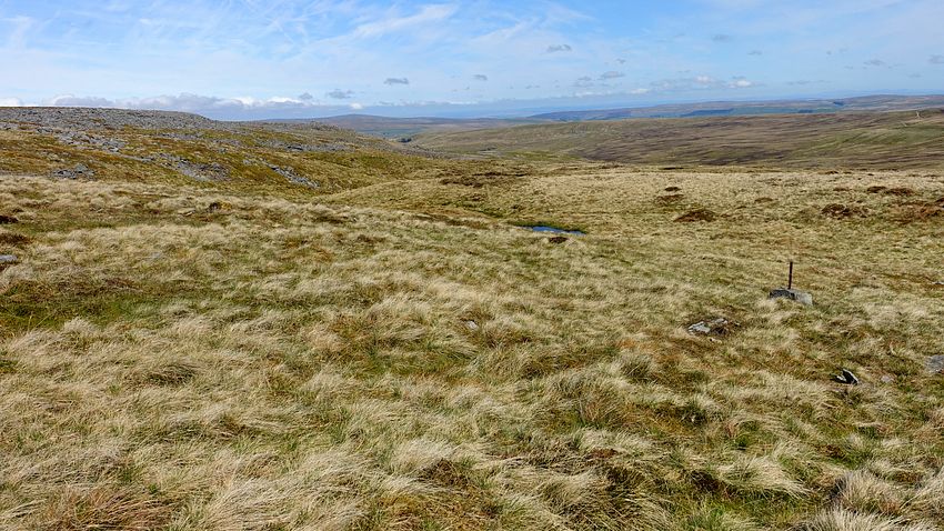
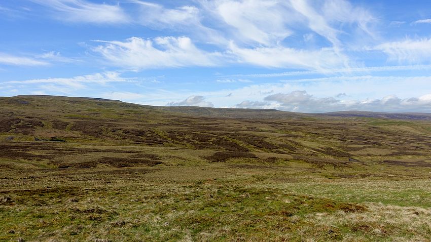
The PW passes the heathery expanse of Meg Moffat's Hill to a gate and descends to cross a streamlet in a small ravine at NY725388. Here we took a shooting track ascending westwards back up the other side, surfaced with a new plastic mesh-like material that was not only effective but very pleasant and springy to walk on. After a fence we took the right fork along the broad heathery ridge, very easy walking while it lasted, unfortunately it began to veer off on a descending line to service the grouse stations below.
We left the comfort of the mesh and picked the best line through the rough terrain of tussocks and heather aiming for the trig point on Staneshaw Rigg. As we reached a gate in the fence the going relented to a good grassy track and the 596m trig point is a short climb right.
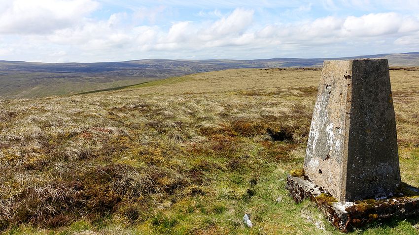
The grassy track leads across to Hound Hill and through a fence descending to a scruffy maze of dilapidated walls enclosing a sheepfold. After some exploration we found the simplest way was to proceed directly through it, climbing a couple of old broken gates and out the other side.
A short walk beyond is the vehicle track overlooking Greencastle Tarn.
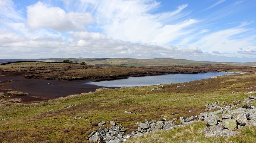
The track winds its way down to Blackburn Bridge below Leadgate, passing a section of wall where the grouse shooting stations are formed from the wall itself, having turrets lined with turf rather like the gaps in castle walls for the archers.
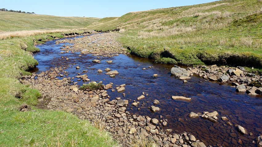
A riverside path follows Black Burn to a footbridge across the River South Tyne and a short footpath up to join the PW for an easy walk back to Alston.