
| OS Route Map → | GPX Route file → |
Date: 24 Jun 2009
Start / Finish: Abergwyngregyn. Free car park at SH 656 728.
Maps: Explorer 017: Snowdon & Conwy Valley.
| Day 1 | Foel-ganol to Carnedd Llewelyn | 10.4 miles / 4400 feet (16.8km / 1340m) |
| Day 2 | Yr Aryg to Moel Wnion | 8.6 miles / 1370 feet (13.8km / 417m) |
A 2-day route around the NW Carneddau from Aber, approaching the massif along the Foel-ganol ridge and returning via Gyrn and Moel Wnion.
This circuit was suggested by the four Dewey tops in the Carneddau range that I had yet to visit. Foel-ganol and Yr Orsedd form a short ridge that give a new and natural line onto the main highway, while Gyrn and Moel Wnion complete the return leg, leading neatly back to Aber.
The first business of the day is understanding the car park: you drive past the bus turning circle, past the car park sign and recycle bins to an area of perforated hardstanding on the left that allows the short grass to grow through.
I took the short signed footpath towards the village that cuts off a little bit of tarmac, passing an information board about Abergwyngregyn ('Estuary of the white shells'), and walked up the minor road to the boundary of Access land and onto the open hillside. This is the line of the North Wales Path (NWP) that we walked years ago, and I left the track before the line of pylons to climb towards Foel Dduarth, the first elongated little top of the ridge with a good view over the estuary. It had been a hot climb in the shelter of the lane but an easterly wind was whistling around the tops: out came the fleece. The steep cone of Foel-ganol lies ahead and a thin grassy path continues on to Yr Orsedd with good views of the Anafon valley below.
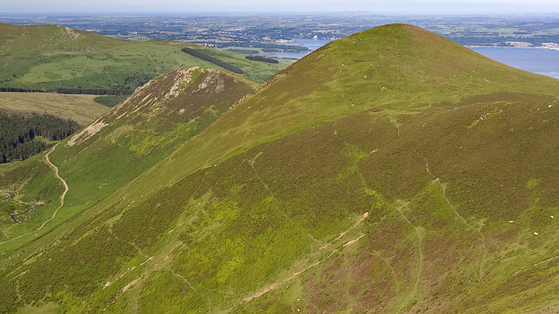
The spine of Yr Orsedd has another minor rise to the SE, and I followed a thin path from here to a prominent cairn on the last of the minor tops of this approach, Pen Bryn-du. The ridge had been a most rewarding line, a quiet route to enjoy away from the popular direct highway below. A short descent leads to the main Carneddau track and I followed it directly to Drum, taking advantage of the summit windshelter whose opening faced east but offered a modicum of protection from the wind. Llyn Anafon could be seen below Llwytmor across the valley.
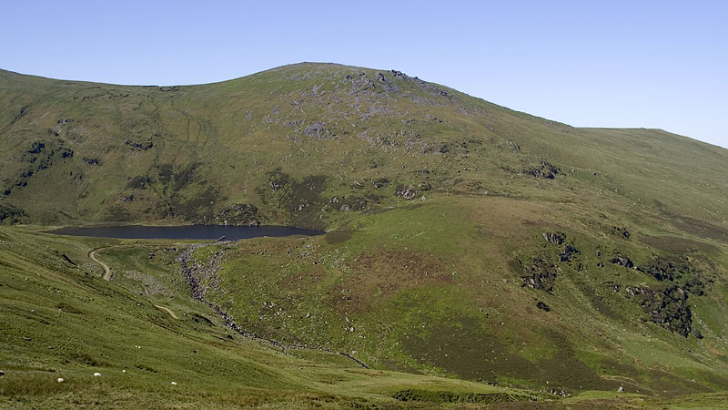
Stone slabs facilitate the crossing of the wettest patches of the peaty bwlch before the grassy climb to the bouldery top and trig point of Foel-fras. It was warm and fairly calm in the lee of the drystone wall that crosses the top, a time to soak up the views which extend out to Anglesey and the sea and onwards to the higher mountains. We once pitched our tent here on the night of June 21st. - just coincidentally, not as a 'solstice special' to see the sunrise - and we had forgotten that the 'Welsh 3000' attempts are concentrated around that time and there was quite a procession past the tent during the night.
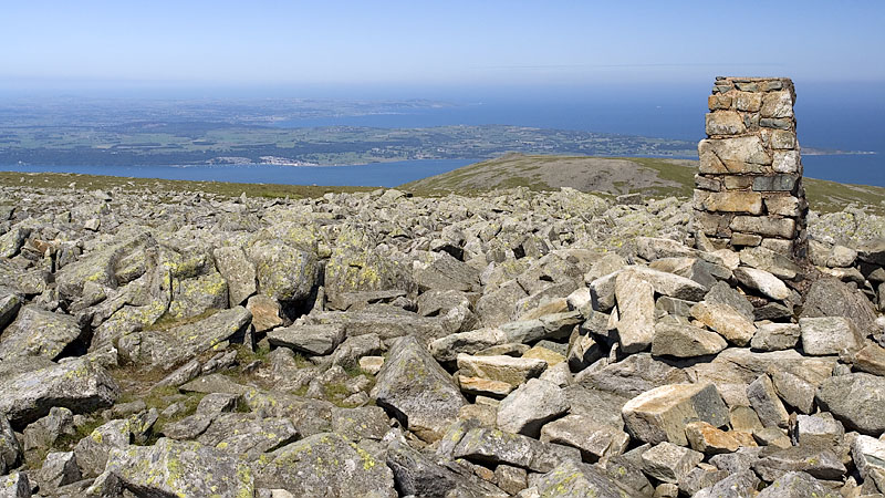
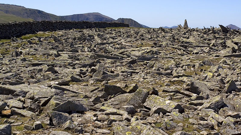
An easy stroll and short climb gains the spiky summit of Carnedd Gwenllian, one of several fine rocky tops in the Carneddau that rise quite suddenly from the generally grassy surroundings. There is a grand mountain view ahead, and I spotted a group of backpackers below ascending on a lower path: their packs looked huge even from here, I passed them a bit later at the foot of Foel Grach and they were carrying the usual joint knackering monsters. On the far side of Foel Grach the shy Ffynnon Caseg came into view in the eastern cwm of Yr Elen.
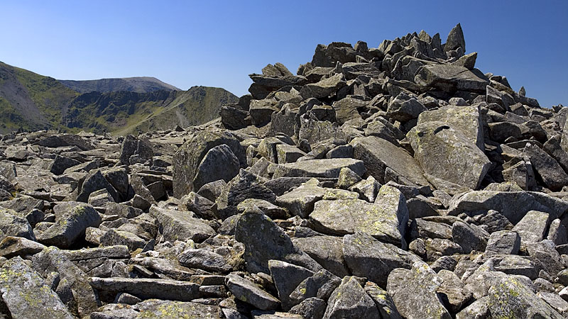
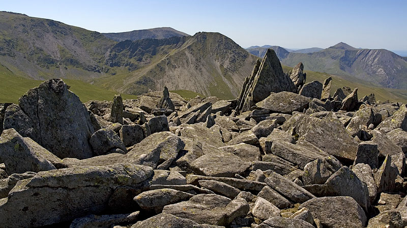
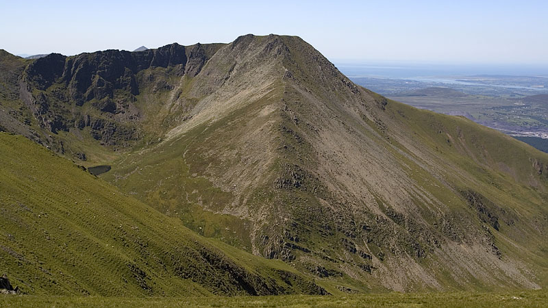
A final climb up the windswept rocks and I arrived at the stony plateau of Carnedd Llewelyn. I strolled over to the start of the Yr Elen path hoping for a view of the cwm, but it would have involved descending rather too far and I contoured around back to the east side.
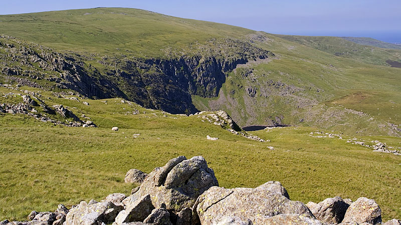
I had been mindful of the wind all day, a lot stronger than expected, and I descended NE from the bwlch towards the shallower slopes below Gwaun y Garnedd: I knew that the pitch below Craig Eigiau that we used last year would almost certainly be a good sheltered spot in the lee of the rocky rib forming the summit. As it turned out I didn't need to go that far, the slopes on this side were well shelved and hummocky, and I found an excellent spot with just a breeze. On the south side I had good views of the Pen yr Helgi Du spur and a short way north I could just see Melynllyn reservoir nestling in the cwm.
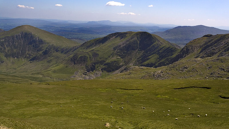
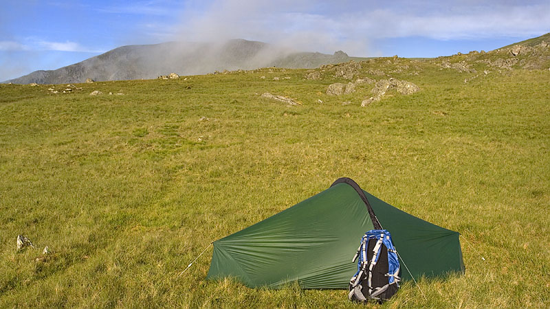
Mist descended in the night but cleared quickly at my level after sunrise, the early warmth soon evaporating most of the dew on the grass and the water from the flysheet. The last swathes were dissipating as I set off exploring the rocky outcrops and boggy shelves on the ascent towards the base of the Foel Grach summit pile. All the tops here were clear as I arrived at the bwlch but in other parts some summits were still shrouded, quite a change for Carnedd Llewelyn which normally cops for any mist around in Snowdonia.
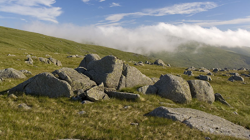
This time I took the lower path that skirts Carnedd Gwenllian, capturing a different view in the early light towards Yr Elen on the way, and I left it to climb up to Yr Aryg, a prominent bastion of rocks with a summit tor easily climbed for a great view of the surrounding landscape. There is a discernible path on this approach from the SE that passes near the pools..
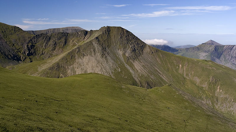
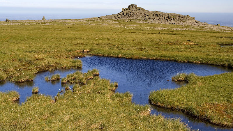
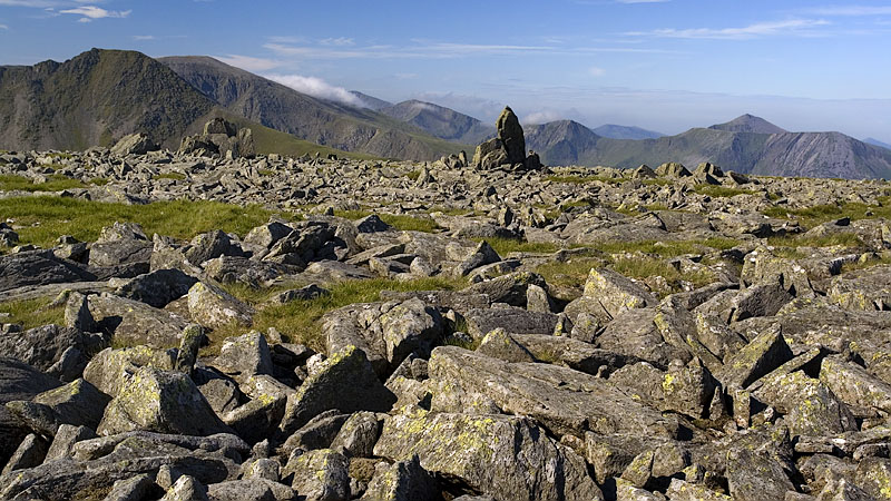
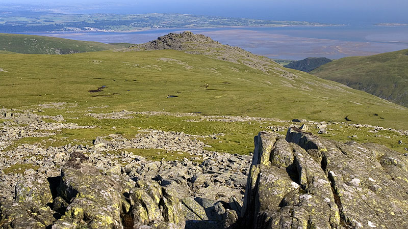
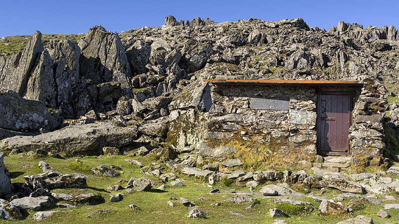
The next objective was Bera Mawr, an excellent rocky summit and a most enjoyable ascent, and I more or less made a beeline for it with small detours to avoid boggy patches. I approached in the quite sheltered warmth, but the moment I started to climb up the rocks the strong wind suddenly made the easy climb a bit more interesting. Arriving at the uppermost tor with the two monoliths beside it, the wind threatened to hurl me across the rocks and I took these pictures crouched behind a large boulder.
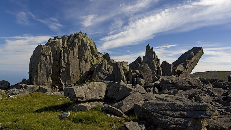
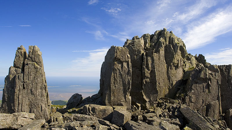
I descended gingerly back to grass, keeping firmly anchored to the rock all the way, and the wind eased as suddenly as it began before recommencing on the climb up the extensive rockpile of the higher Bera Bach. This time I took an overall picture from the foot of the rocks.
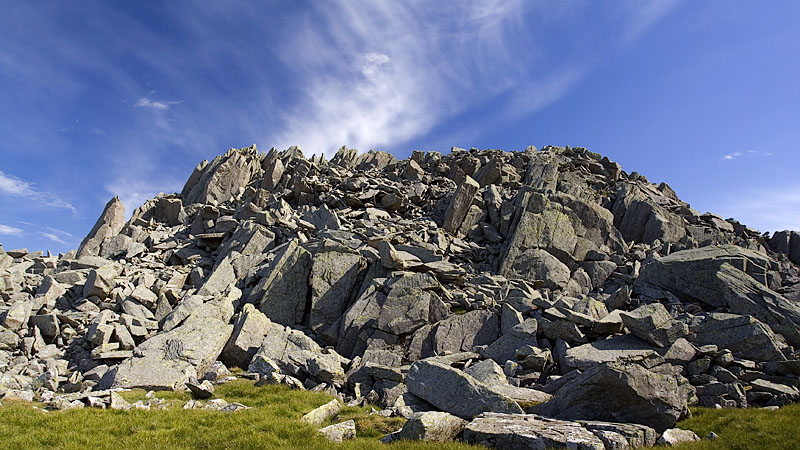
I joined the main path around the flanks of Drosgol and left it for a clear grassy path across the depression towards the prominent stony top of Gyrn. The enclosures of stone and slate at its foot form a labyrinthine little set of sheepfolds, and I left the path to cross to the southern corner of the walled structure, leaving a short easy climb to the windshelter at the top that commands a good view over the Menai Straits.
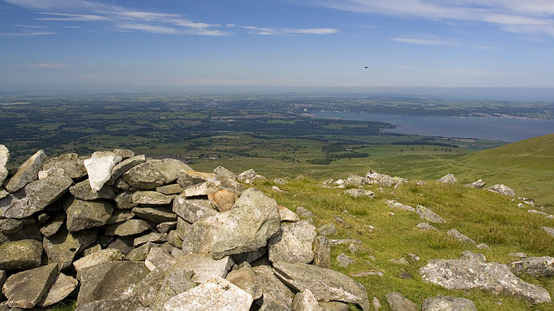
An easy descent NE leads back to the main track and a fainter track ascends to the flat grassy top of Moel Wnion with its windshelter and enclosed stone block, which looks at first sight like a ruined trig point but the map doesn't indicate one. I followed a convenient faint path NE but it soon fizzled out, leaving a pathless but easy descent to the clear public footpath on the lower flanks. There is a distant view of the Aber waterfalls from here with Llwytmor beyond.
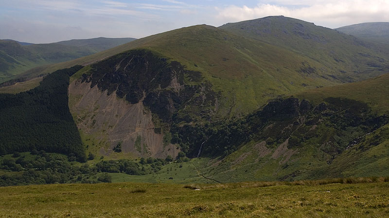
I walked along the path for a while and left it to aim for the prominent sheepfolds at SH658709. I met another group of young backpackers here doing the NWP, all with - you guessed it - monster packs and boots, who had missed the correct track lower down. They were trying to traverse the hill to pick it up further round, I hope they found it without too much difficulty.
From the sheepfolds I picked up the path NW shown as a pecked line above the intake wall on the map (the public footpath NE didn't look inviting, it passes through unkempt bracken and is not shown as a physical path on the map). This pecked path keeps to the high ground to a cairn with more good views and passes through a gate, descending across the fields to join the NWP exactly as mapped. A short walk eastwards along the NWP is the good footpath that descends steeply back to Aber.